upcoming: 3/5 final project proposals due
final project proposals
2 pages
final project proposals
work plan:
data (where's it coming from? what will you have to do to it?)
final project proposals
work plan:
what will it look like? include a sketch.
final project proposals
work plan:
what do you need to learn to make this happen?
final project proposals
this will likely change as you do your project, and that's okay
final project proposals
define a milestone for yourself. it will be due 4/9.
upcoming: 3/13 guest speaker
CartoCSS
#earthquakes {
    marker-fill: #ff307a;
    marker-line-color: #FFF;
    marker-line-width: 0.25;
    marker-line-opacity: 0.4;
    marker-width: 2;
    marker-allow-overlap: true;
}
#earthquakes {
    marker-width: 3;
    ...
    [mag >= 6.5] {
        marker-width: 8;
    }
}
#earthquakes {
    marker-width: 3;
    ...
    [zoom >= 10][zoom < 16] {
        marker-width: 8;
    }
}
#earthquakes {
    marker-width: 3;
    ...
    [mag > 5.5],
    [place = 'Northern Mid-Atlantic Ridge'] {
        marker-width: 8;
    }
}
@width: 8;
#earthquakes {
    marker-width: @width;
    marker-fill: #ff307a;
    marker-allow-overlap: true;

    [zoom >= 4] {
        marker-width: @width * 2;
    }
    [zoom >= 8] {
        marker-width: @width * 3;
    }
    [zoom >= 12] {
        marker-width: @width * 4;
    }
}
CartoDB follow up
adding features
adding columns
useful if you want to add data to your features
or, say, you have one thing in the table but want to display another
advanced legend and infowindow stuff
advanced legend and infowindow stuff
you need HTML and CSS. we'll get there.
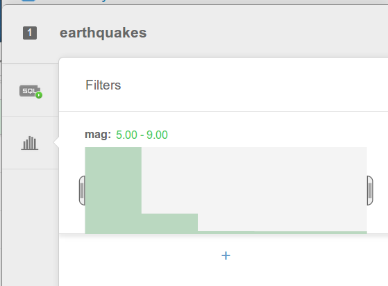
but I wanted 6.5!
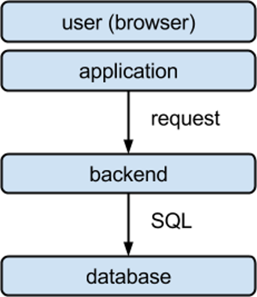
SQL
SQL
Structured Query Language
SQL
the language databases understand
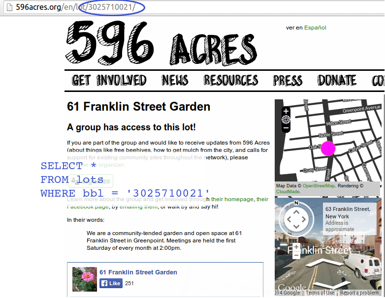
Give me the pages that refer to properties in Brooklyn.
Give me the addresses of the properties in Brooklyn.
databases are great at these types of questions
it's what they were made for
SQL helps you ask these questions in a way databases understand
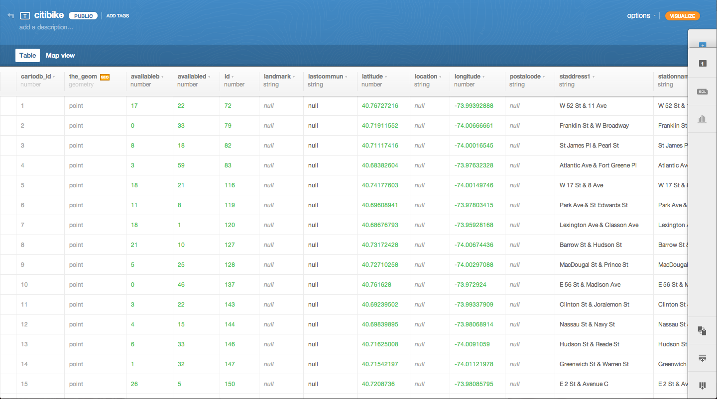
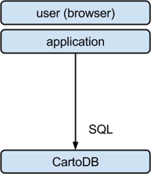
CartoDB
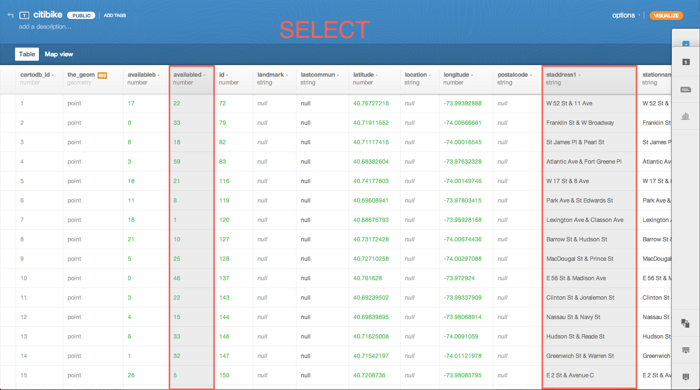
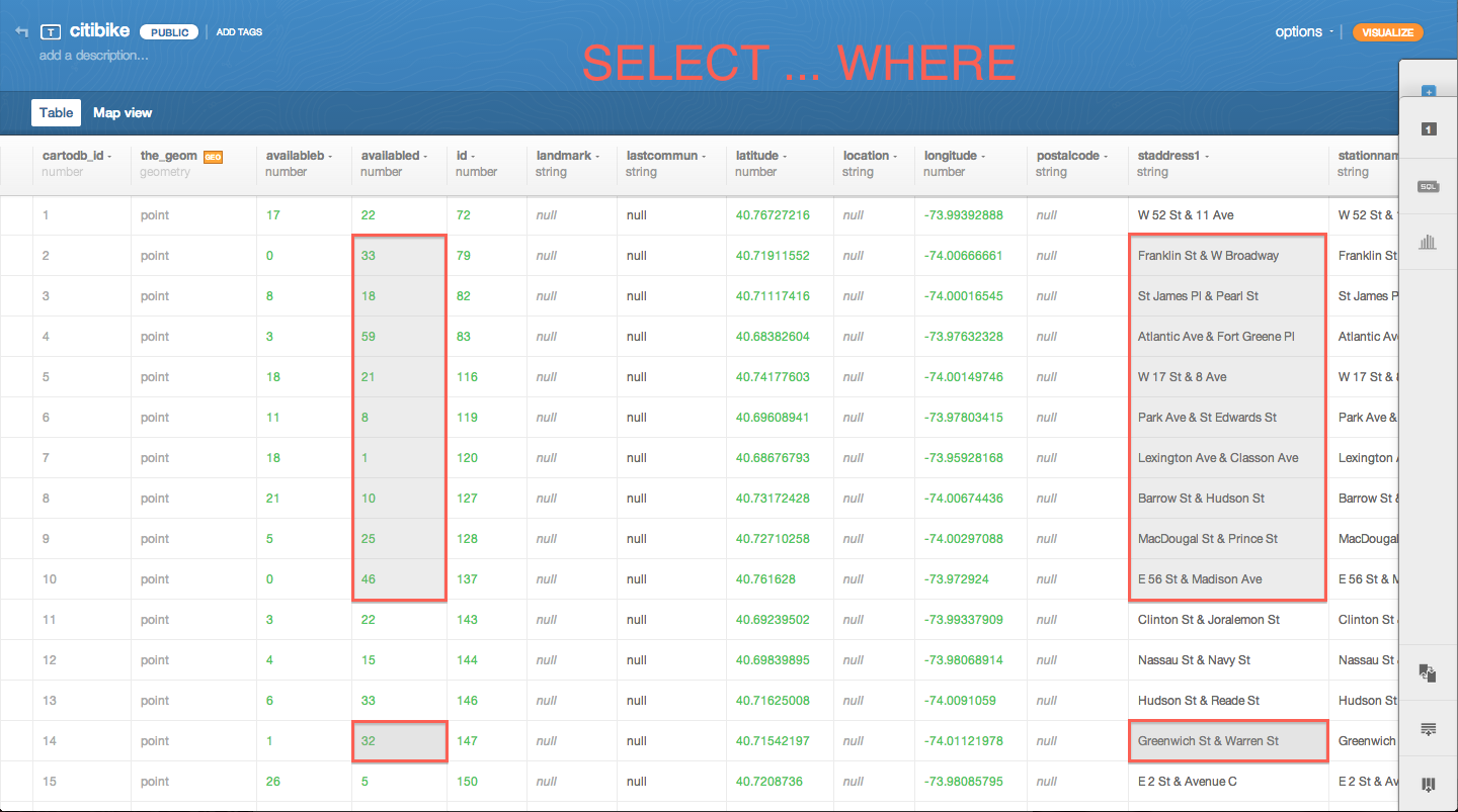
SELECT: choose columns from a table
just list the columns. for example:
SELECT mag, place
FROM earthquakes
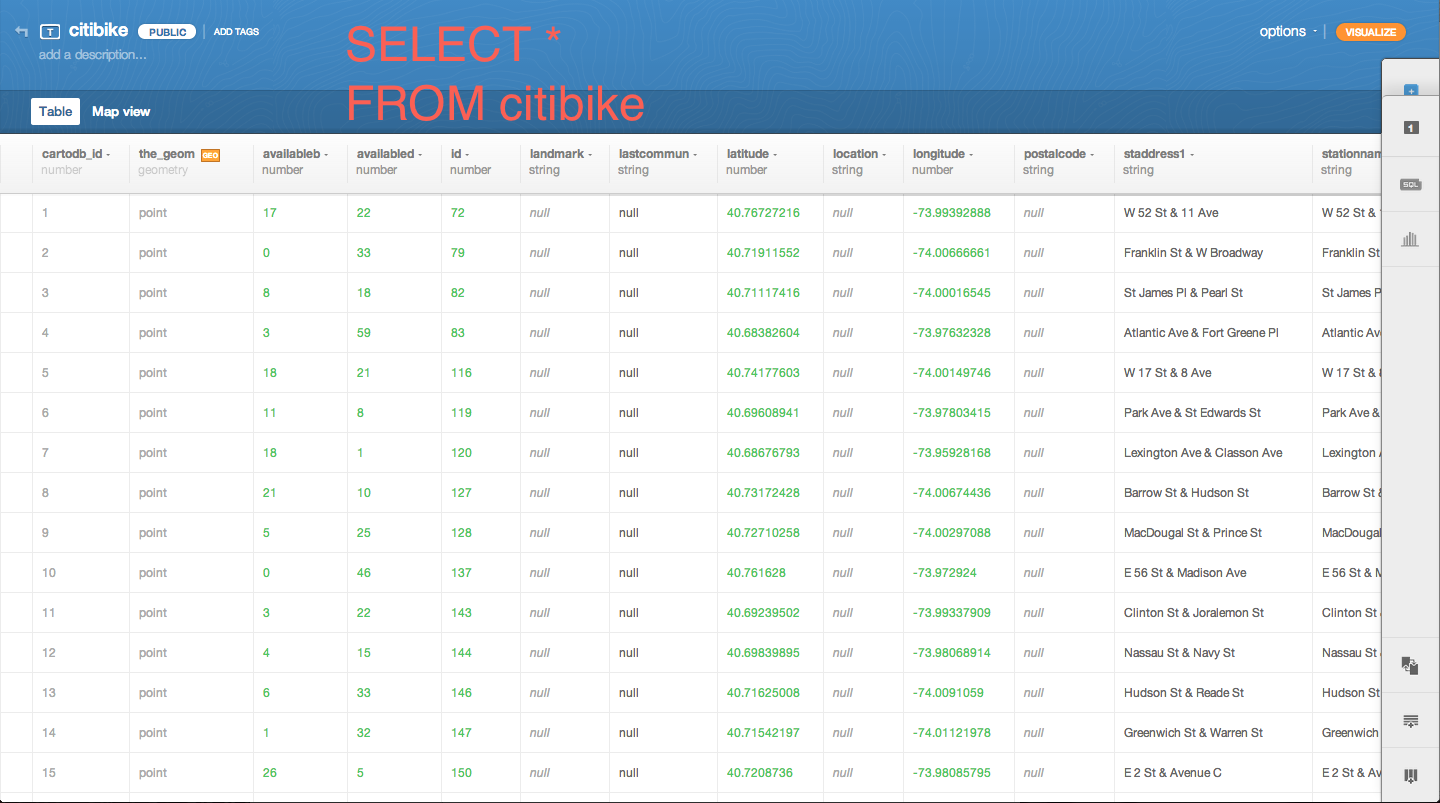
SELECT *: choose all columns
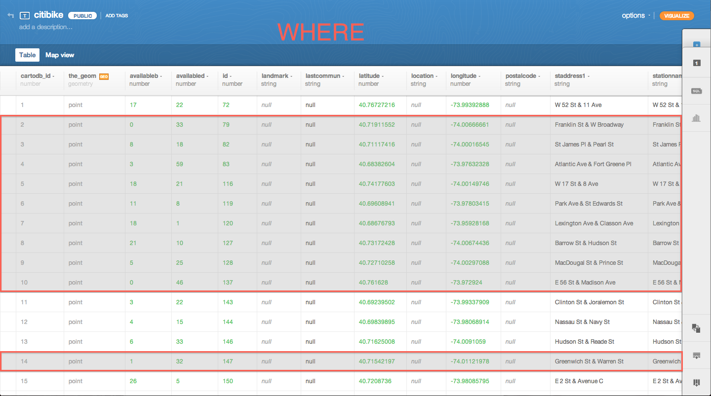
WHERE: choose rows from a table
for example:
SELECT *
FROM earthquakes
WHERE mag > 6
  AND mag < 7
try it yourself
get just the earthquakes with mag between 7 and 7.5
these conditions are the same as the ones in CartoCSS:
>
<
=
!=
>=
<=
and you combine them with AND / OR
for example:
SELECT *
FROM earthquakes
WHERE mag > 6
  AND place =
  'Northern Mid-Atlantic Ridge'
for example:
SELECT *
FROM earthquakes
WHERE mag > 6
  OR place =
  'Northern Mid-Atlantic Ridge'
or you can negate a condition with NOT
for example:
SELECT *
FROM earthquakes
WHERE NOT (mag > 6
  OR place =
  'Northern Mid-Atlantic Ridge')
for example:
SELECT *
FROM earthquakes
WHERE NOT (mag > 6
  OR place =
  'Northern Mid-Atlantic Ridge')
(match any rows that do not match the condition)
try it yourself
get just the earthquakes with mag not between 7 and 7.5
SELECT does not change the table, it only changes your view of the table
you can also use SELECT to get a better idea of what data is in your table
get a count of matching rows:
SELECT COUNT(*)
FROM earthquakes
WHERE mag > 6
  OR place =
  'Northern Mid-Atlantic Ridge'
but you'll almost never want to use this statement for your map
try it yourself
get the number of earthquakes with mag between 7 and 7.5
you can also use SQL to quickly UPDATE or DELETE the data in your table
these will destroy data, so have a backup or test it with a table you don't need
UPDATE earthquakes
SET mag_display = 'HUGE'
WHERE mag > 8
DELETE FROM earthquakes
WHERE ...
more in the SQL cheatsheet in Lore
SQL shows up everywhere online
getting data from CartoDB using SQL
http://eric.cartodb.com/api/v2/
    sql?q=SELECT COUNT(*)
          FROM earthquakes
          WHERE mag > 7
view results
this should all go on one line, but then we have to make it small:
http://eric.cartodb.com/api/v2/sql?q=SELECT COUNT(*) FROM earthquakes WHERE mag > 7
http://eric.cartodb.com/api/v2/
    sql?q=SELECT *
          FROM earthquakes
          WHERE mag > 7
view results
with public tables you can do this:
http://{your username}.cartodb.com
    /api/v2/sql?q={your query}
write your query in a text editor, then turn it into the URL
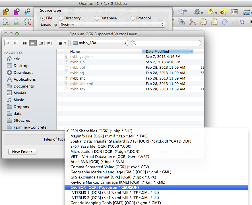
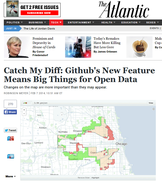
let's talk about this GeoJSON thing
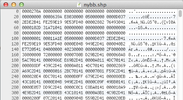
we all know and love shapefiles, but...
shapefiles are difficult to read
(without proper software) shapefiles are difficult to read
(without proper software) shapefiles are difficult / impossible to write, too
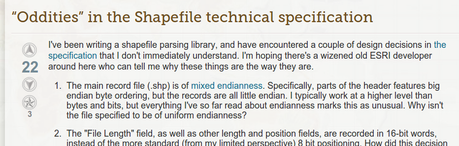
how to write a shapefile:
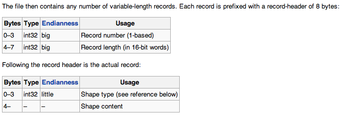
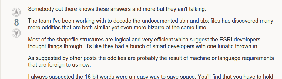
and the people writing that software are in for some fun
"It's like they had a bunch of smart developers with one lunatic thrown in."
okay, maybe you have the software already. there are some other problems:
1. column names limited to ten characters
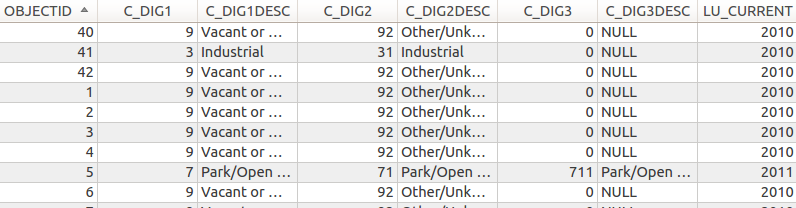
how do you pronounce "C_DIG2DESC"?
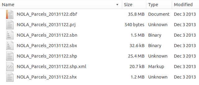
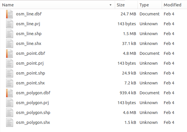
2. multiple files make up a shapefile
3. one geometry type per shapefile
okay, back to GeoJSON
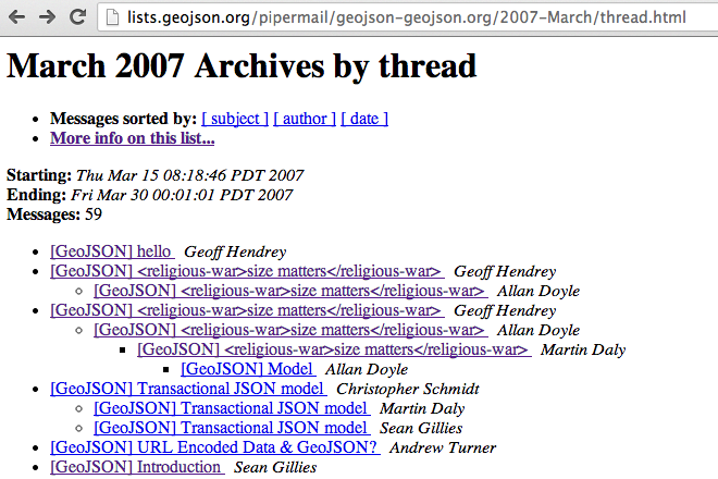
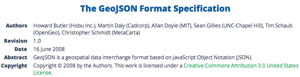
where do file formats come from?
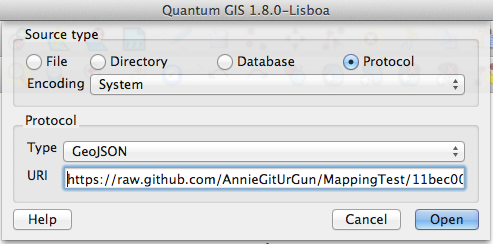
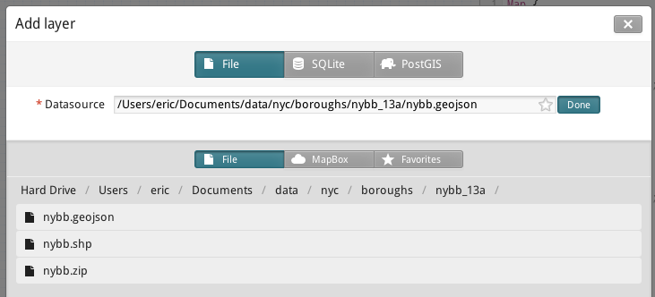
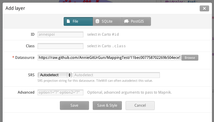
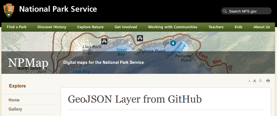
where does GeoJSON work?
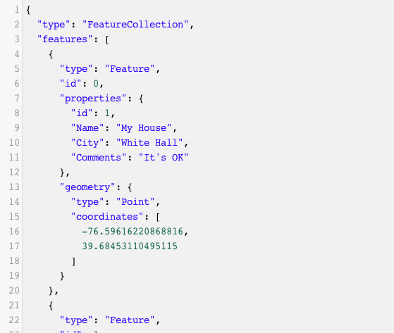
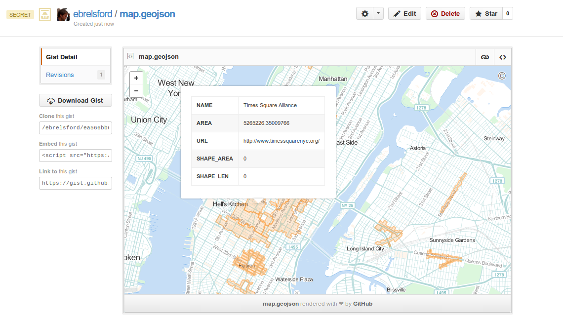
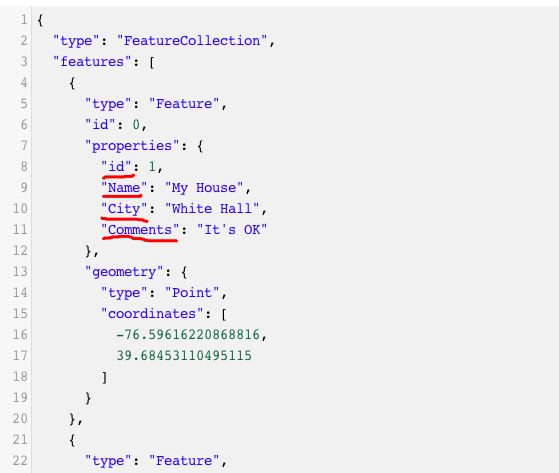
GeoJSON is readable
{
"type": "FeatureCollection",
"features": [ ... ]
}
{
"type": "FeatureCollection",
"features": [
{ ... },
{ ... },
{ ... }
]
}
{
    "type": "FeatureCollection",
    "features": [
        {
            "type": "Feature",
            "properties": {
                "id": 1,
                "Name": "My House",
                "City": "White Hall",
                "Comments": "It's OK"
            },
            "geometry": {
                "type": "Point",
                "coordinates": [-76.596, 39.684]
            }
        }
    ]
}
GeoJSON allows multiple geometry types in one file
GeoJSON is easy for web apps to understand
it's not without its flaws
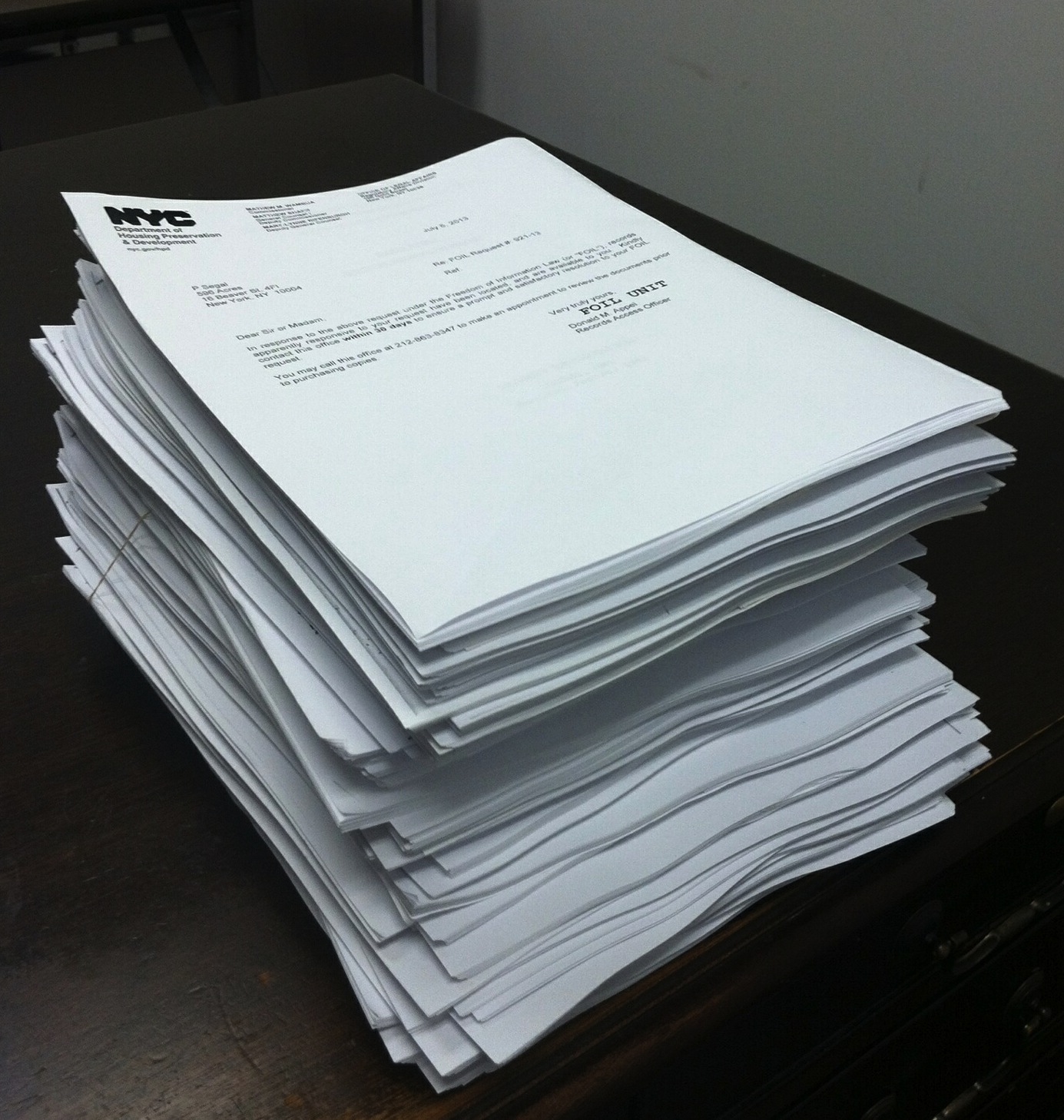
the files can get big:
the files can get big:
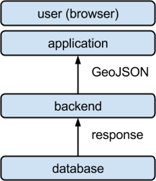
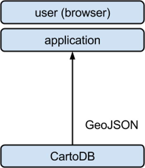
getting GeoJSON files from CartoDB
http://eric.cartodb.com/api/v2/
    sql?q=SELECT *
          FROM earthquakes
          WHERE mag > 7
http://eric.cartodb.com/api/v2/
    sql?q=SELECT *
          FROM earthquakes
          WHERE mag > 7
    &format=geojson
view results
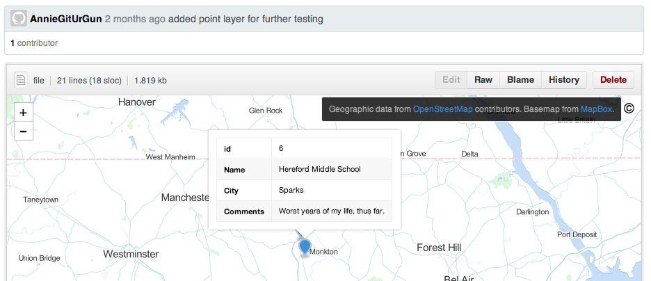
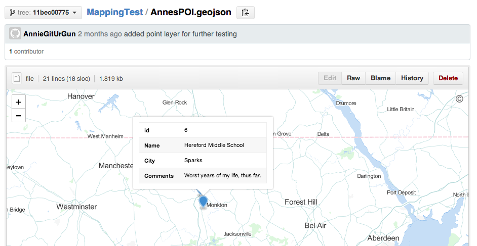
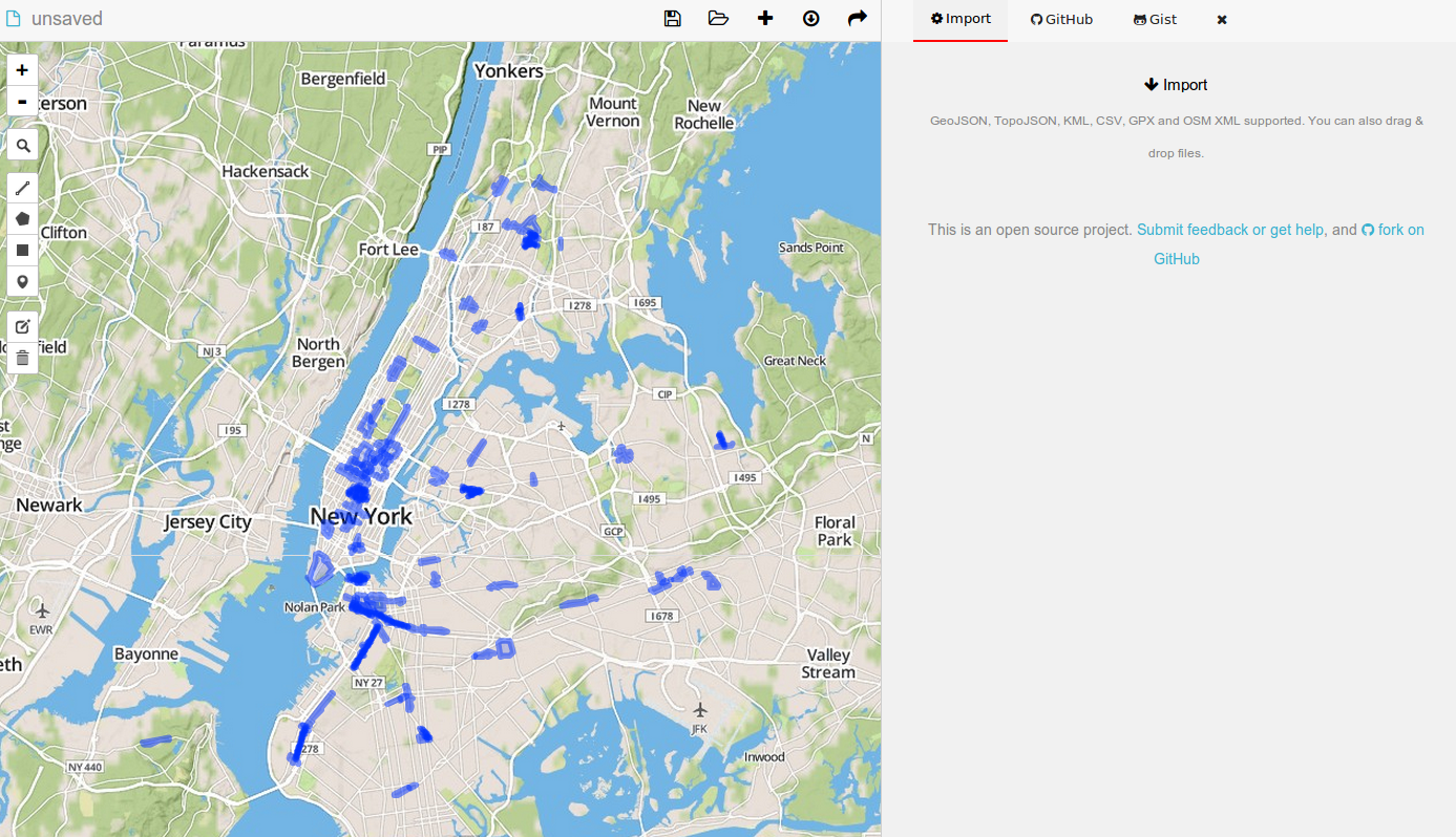
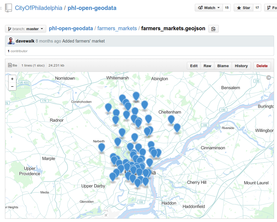
let's put GeoJSON files online
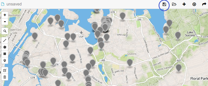
try it: go to geojson.io, make some features, and save your map
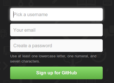
create a github account
login with geojson.io
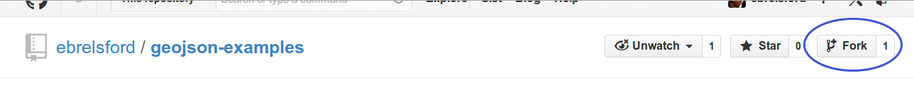
find the repository you forked
make some changes and save them
view the commit

or through github