FOSS and the Geoweb
geoweb
geoweb
the set of practices and software that bring maps to the web and the maps that these create
geoweb
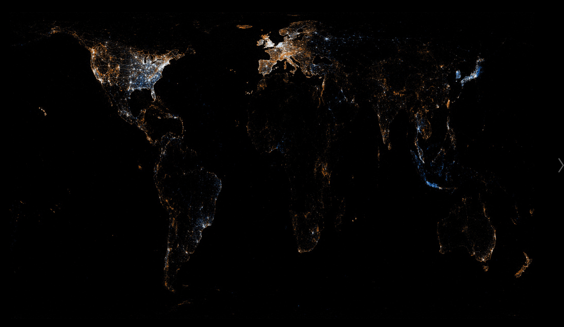
- large amounts of data, including new sources
geoweb
- large amounts of data, including new sources
- a multiplicity of tools
geoweb
- large amounts of data, including new sources
- a multiplicity of tools
- interactive
geoweb
- large amounts of data, including new sources
- a multiplicity of tools
- interactive
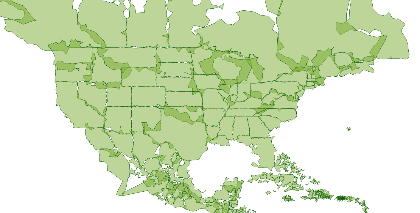
- designing for zooming, much more information
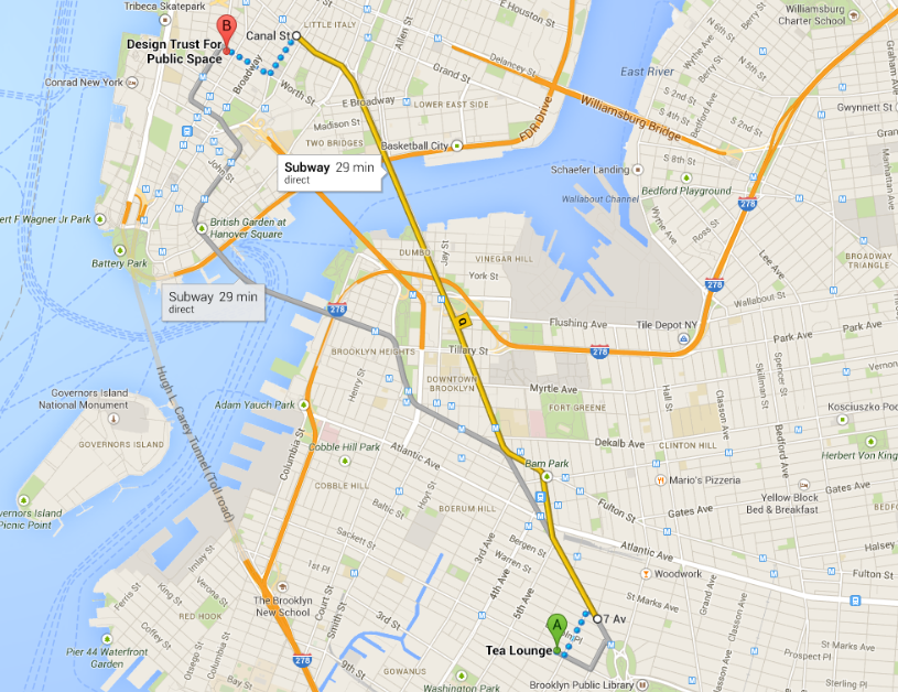
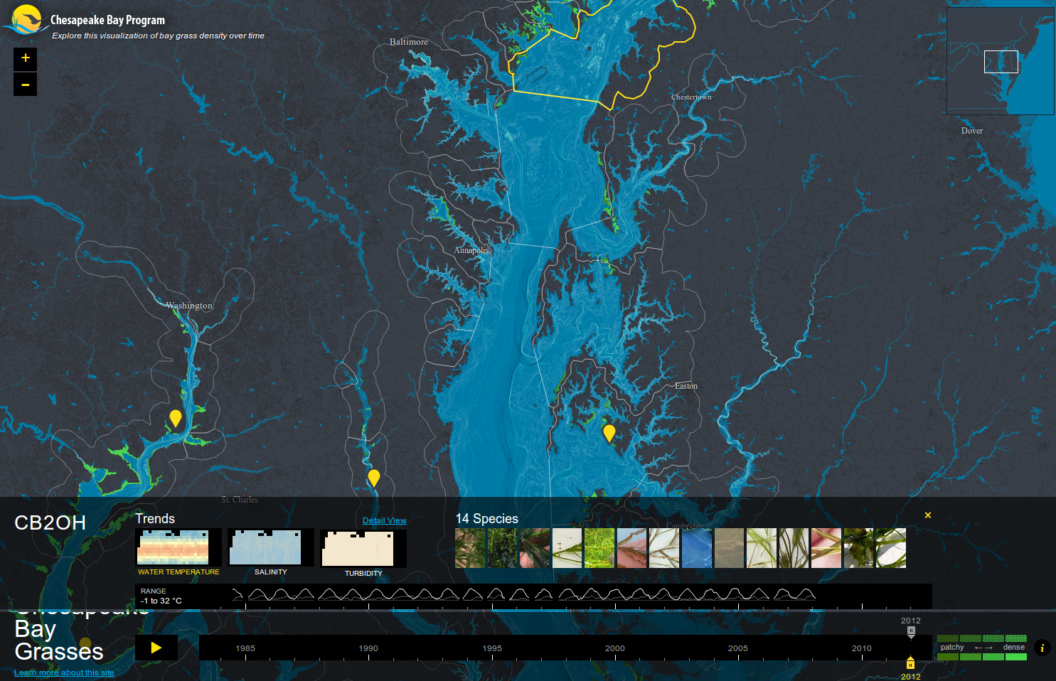
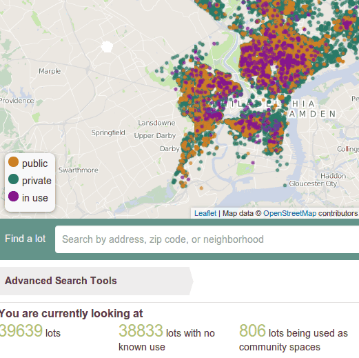
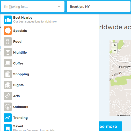
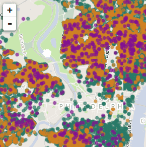
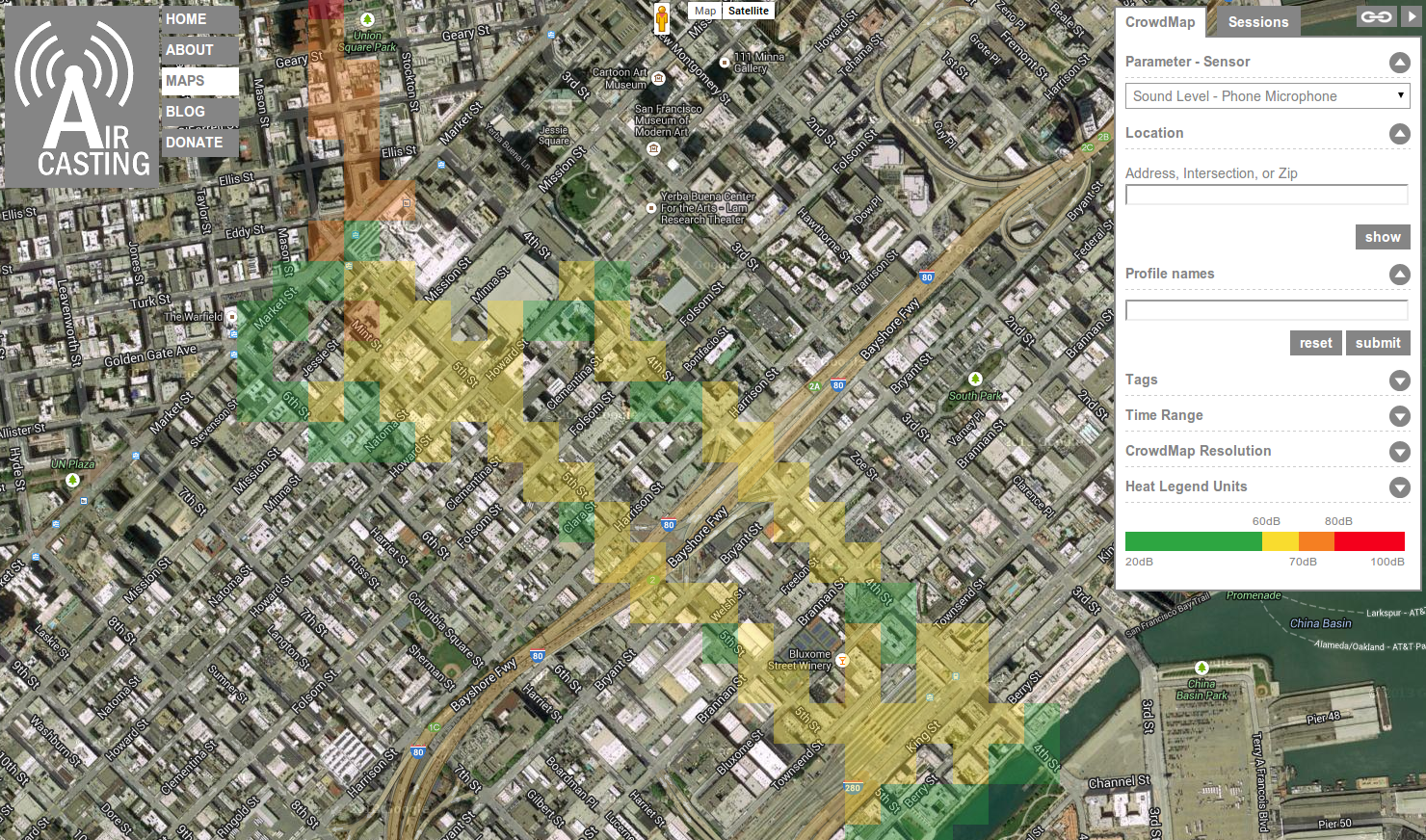
- base layer is OpenStreetMap data
- base layer is OpenStreetMap data
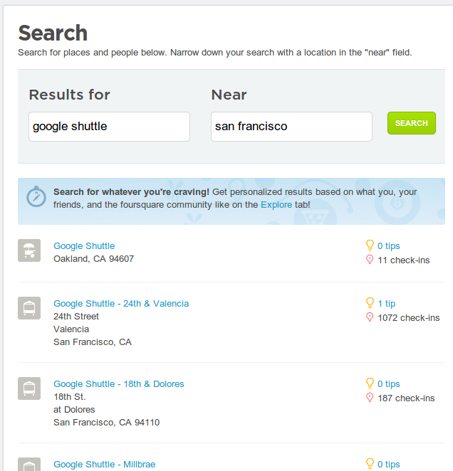
- markers often user-contributed
- base layer is OpenStreetMap data
- markers often user-contributed
- results differ by location, friends, previous interactions
- base layer is OpenStreetMap data
- base layer is OpenStreetMap data
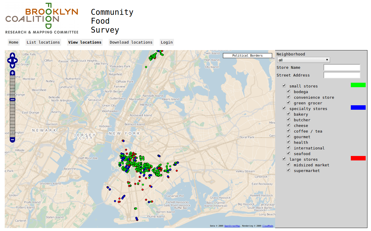
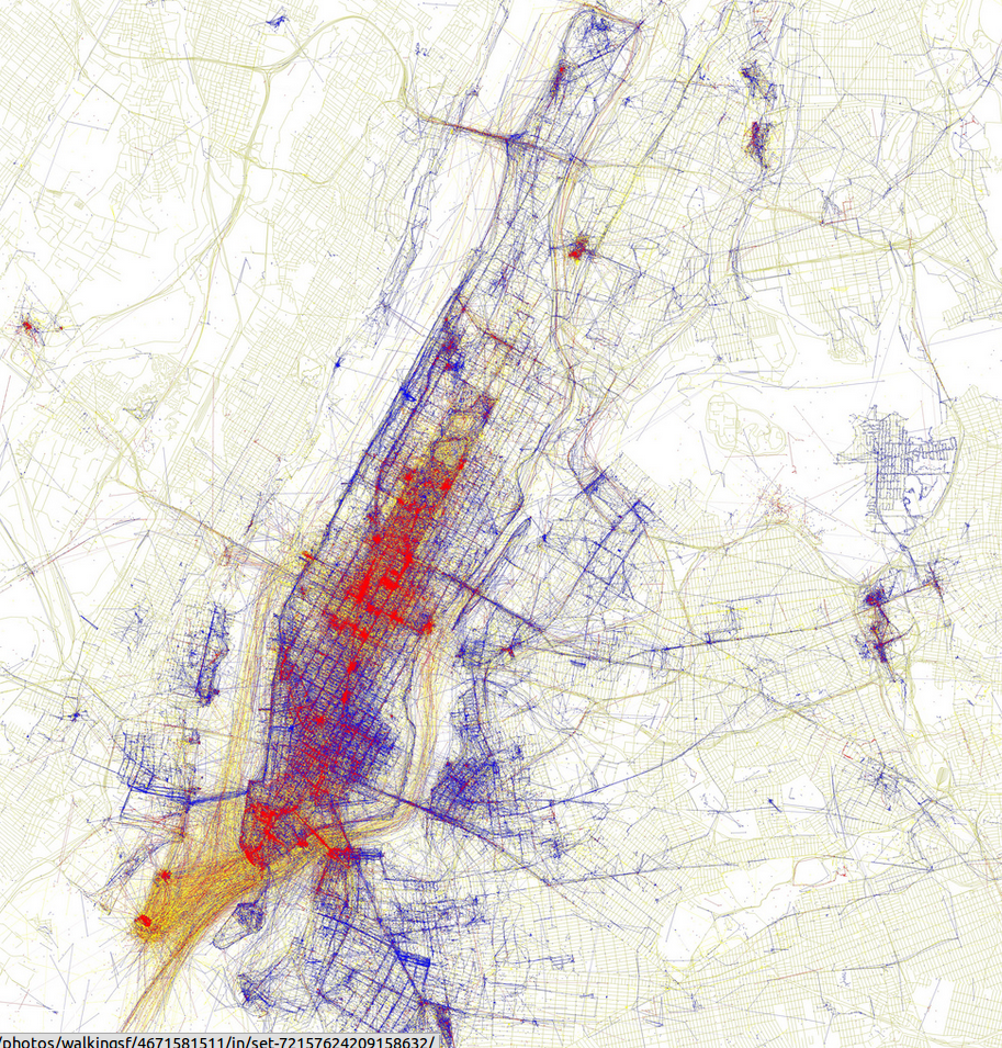
- points from San Francisco's open data portal
- base layer is OpenStreetMap data
- points from San Francisco's open data portal
- markers from another project I'll talk about
- base layer is OpenStreetMap data
- points from San Francisco's open data portal
- markers from another project I'll talk about
- ability to switch layers
geoweb
- large amounts of data, including new sources
- a multiplicity of tools
- interactive
- designing for zooming, much more information
geoweb
for better or worse, maps made by programmers
geoweb
for better or worse, maps made by programmers
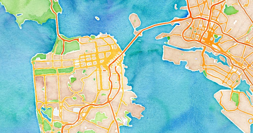
(Web) Mercator everywhere!
how did we get here?
~1997 - today
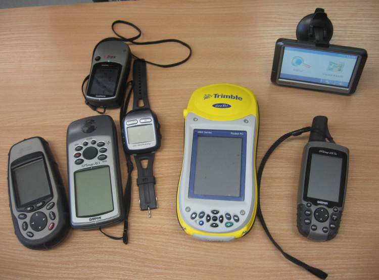
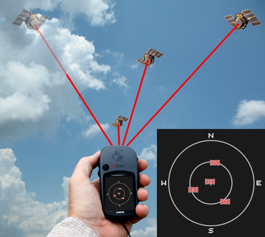
- GPS
- the web changed
- more data became available
- FOSS became mainstream
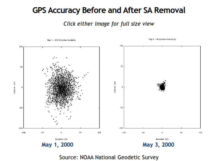
1. GPS
the end of Selective Availability (2000)
2. the web has changed
"Web 2.0" (~2004)

Tim O'Reilly
- Britannica Online → Wikipedia
- Britannica Online → Wikipedia
- publishing → podcasting, blogging
AJAX (2005)
AJAX
(Asynchronous Javascript and XML)
AJAX
(Asynchronous Javascript and XML)
dynamically loading portions of webpages
AJAX
not really new, but newly articulated at the time
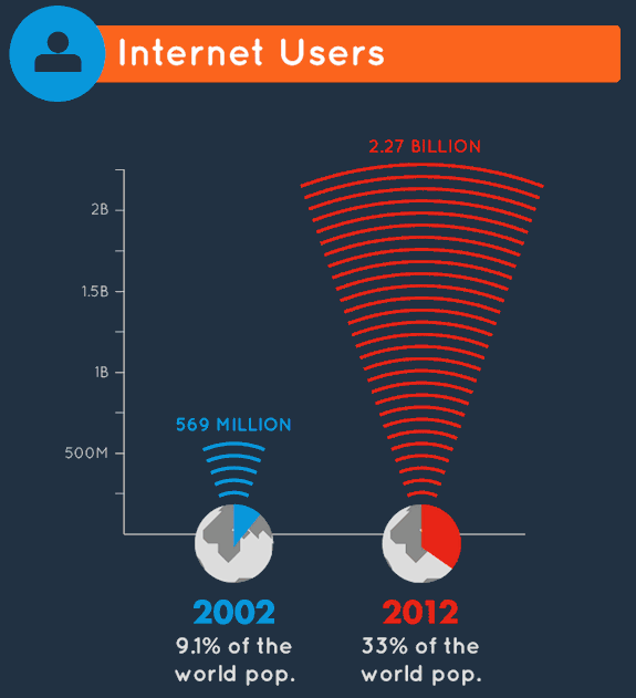
3. data becomes more available
open data
open data
data that is:
- accessible (online, in a widely-used format)
open data
data that is:
- accessible (online, in a widely-used format)
- licensed freely
open data
data that is:
- accessible (online, in a widely-used format)
- licensed freely
- usually created by a large entity
collaborative data
4. FOSS comes into the mainstream

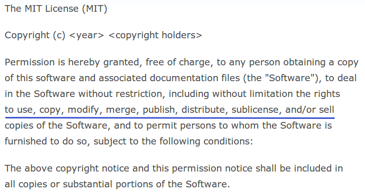
what is FOSS?
Free / Open Source Software
goal is to protect the "fundamental freedoms of software users"
source code
freedoms to
- use,
- study,
- modify, and
- redistribute
source code
in exchange for
- attribution, and sometimes
- sharing your changes under the same license
backed by licenses
backed by licenses
who would ever contribute to FOSS?
GitHub, the popular site for hosting code, much of it open source, has well over 3.5 million users and 10 million repositories.
source
reasons people contribute to FOSS projects
reasons people contribute to FOSS projects
reasons people contribute to FOSS projects
- community
- recognition
- it's educational
reasons people contribute to FOSS projects
- community
- recognition
- it's educational
- it's fun
4. FOSS comes into the mainstream
Linux taken seriously by Microsoft (~1998)
"Recent case studies (the Internet) provide very dramatic evidence
... that commercial quality can be achieved / exceeded by OSS projects."
leaked internal Microsoft memo
who would ever use FOSS?
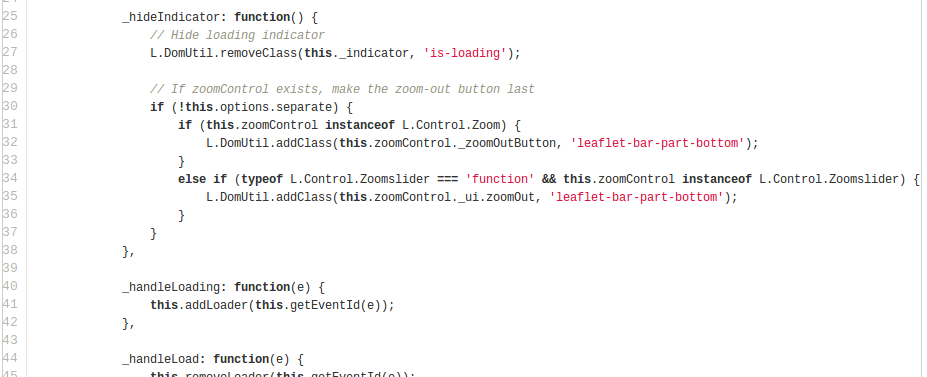
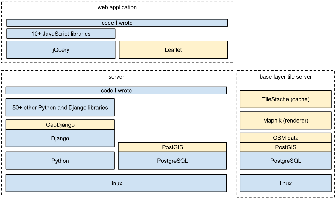
FOSS in geoweb apps
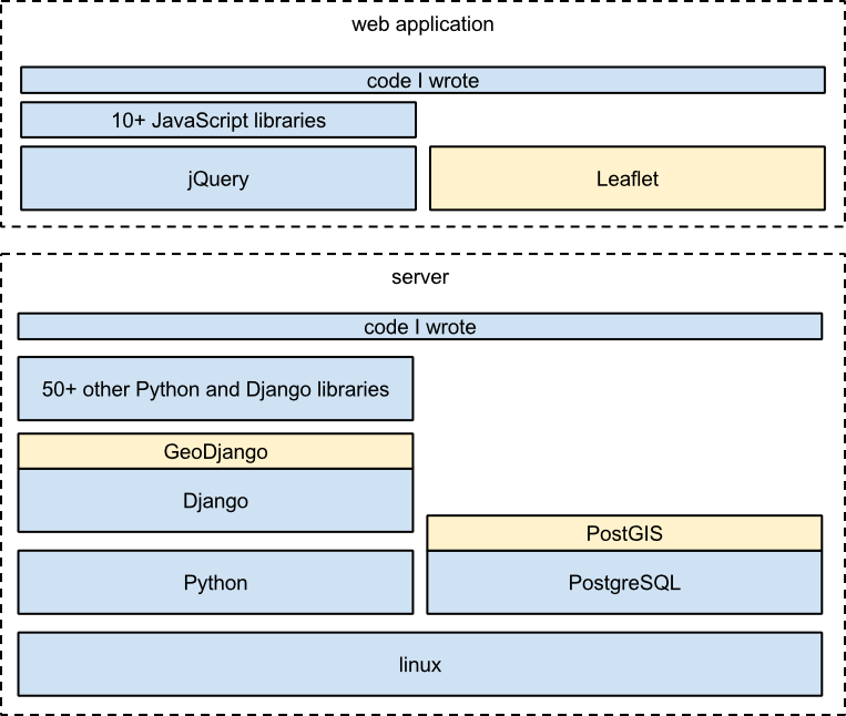
FOSS in geoweb apps
~1997 - today
- GPS
- the web changed
- more data became available
- FOSS became mainstream
names to watch out for
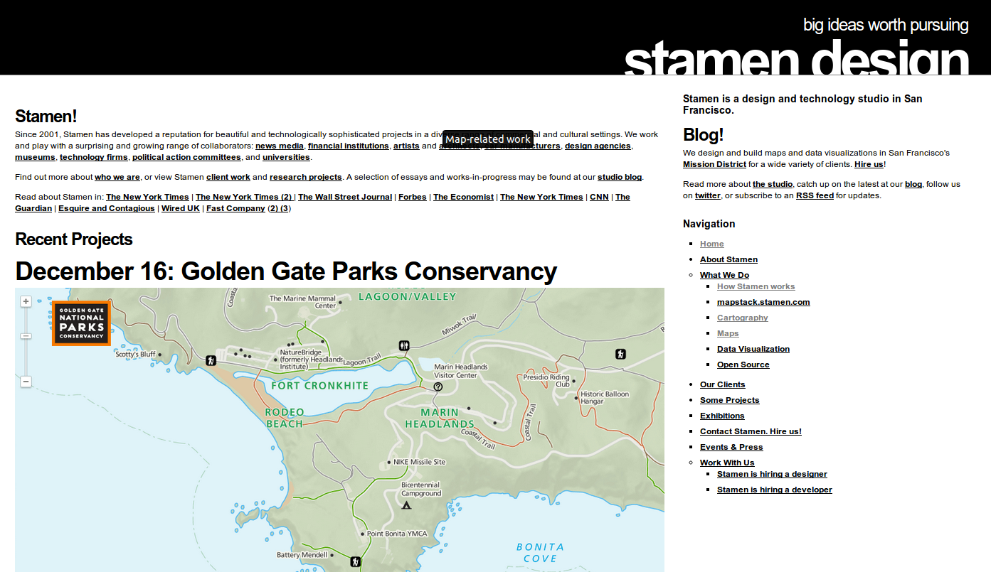
Stamen
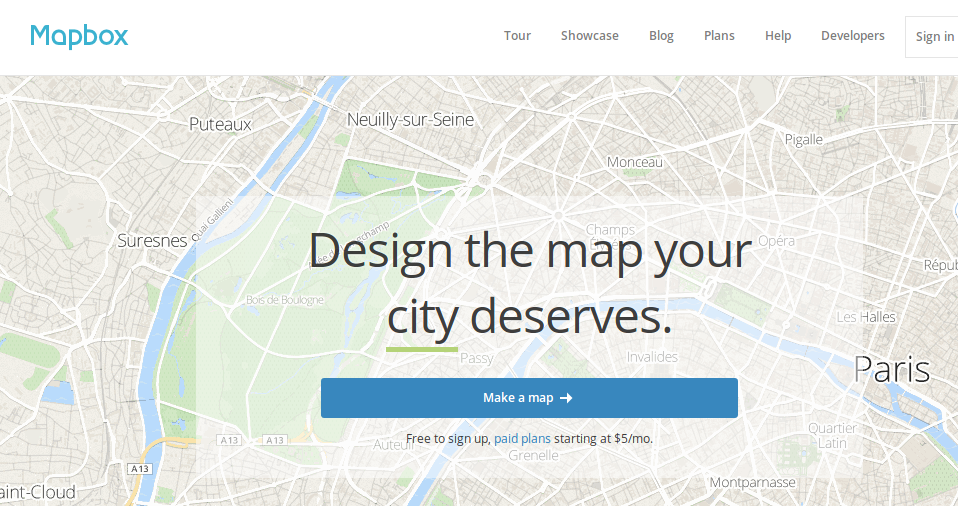
Mapbox
OpenStreetMap

Aaron Straup Cope (@thisisaaronland)
Eric Fischer (@enf)
Tom MacWright (@tmcw)

simplest case:
create a map using geojson.io, save it without a login
if you need more interesting maps, use CartoDB
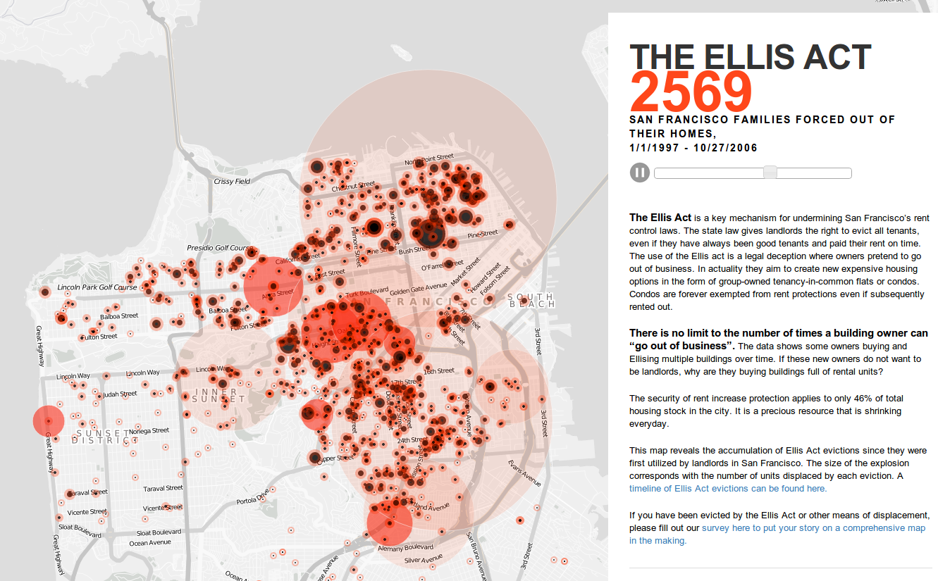
SQL can help you do analysis and interesting styling
SELECT *, ST_Distance(the_geom, ST_GeomFromText('POINT (0 0)', 4326))
FROM earthquakes
SQL can help you do analysis and interesting styling
SELECT *, ST_Distance(the_geom, ST_GeomFromText('POINT (0 0)', 4326))
FROM earthquakes
more in the docs
if you need to consolidate a ton of data, you'll probably want to use a desktop GIS like QGIS