Welcome to Advanced GIS, Lecture 5
This is a web page that can be viewed as slides.
→ to move forward
← to go back
upcoming: 3/5 guest speaker
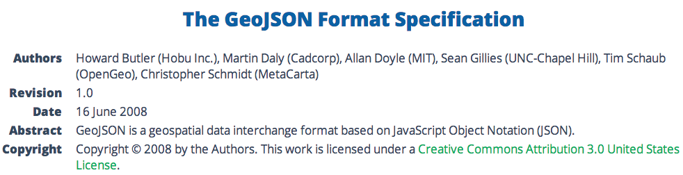
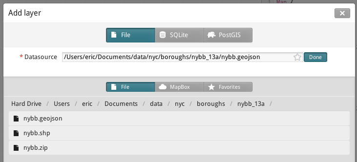
let's talk about this GeoJSON thing
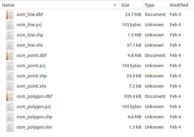
we all know and love shapefiles, but...
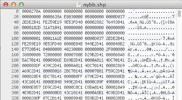
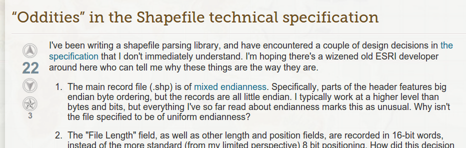
shapefiles are difficult to read
(without proper software) shapefiles are difficult to read
(without proper software) shapefiles are difficult / impossible to write, too
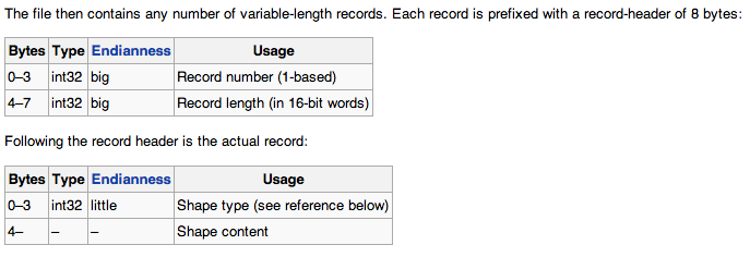
how to write a shapefile:
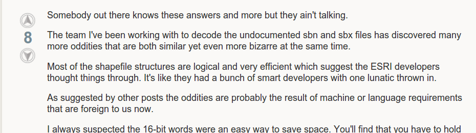
and the people writing that software are in for some fun
"It's like they had a bunch of smart developers with one lunatic thrown in."
okay, maybe you have the software already. there are some other problems:
1. column names limited to ten characters
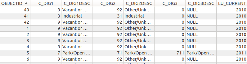
how do you pronounce "C_DIG2DESC"?
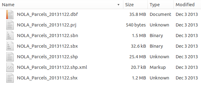
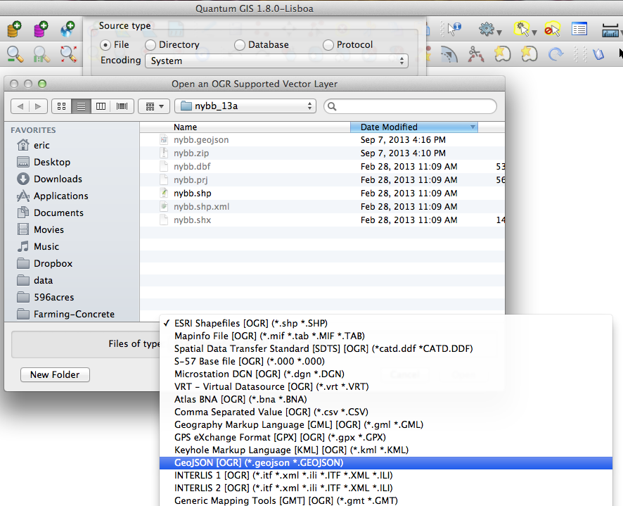
2. multiple files make up a shapefile
3. one geometry type per shapefile
okay, back to GeoJSON
where do file formats come from?
where does GeoJSON work?
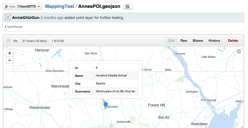
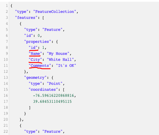
GeoJSON is readable
{
"type": "FeatureCollection",
"features": [ ... ]
}
{
"type": "FeatureCollection",
"features": [
{ ... },
{ ... },
{ ... }
]
}
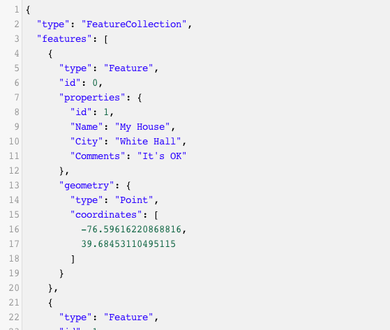
{
    "type": "FeatureCollection",
    "features": [
        {
            "type": "Feature",
            "properties": {
                "id": 1,
                "Name": "My House",
                "City": "White Hall",
                "Comments": "It's OK"
            },
            "geometry": {
                "type": "Point",
                "coordinates": [-76.596, 39.684]
            }
        }
    ]
}
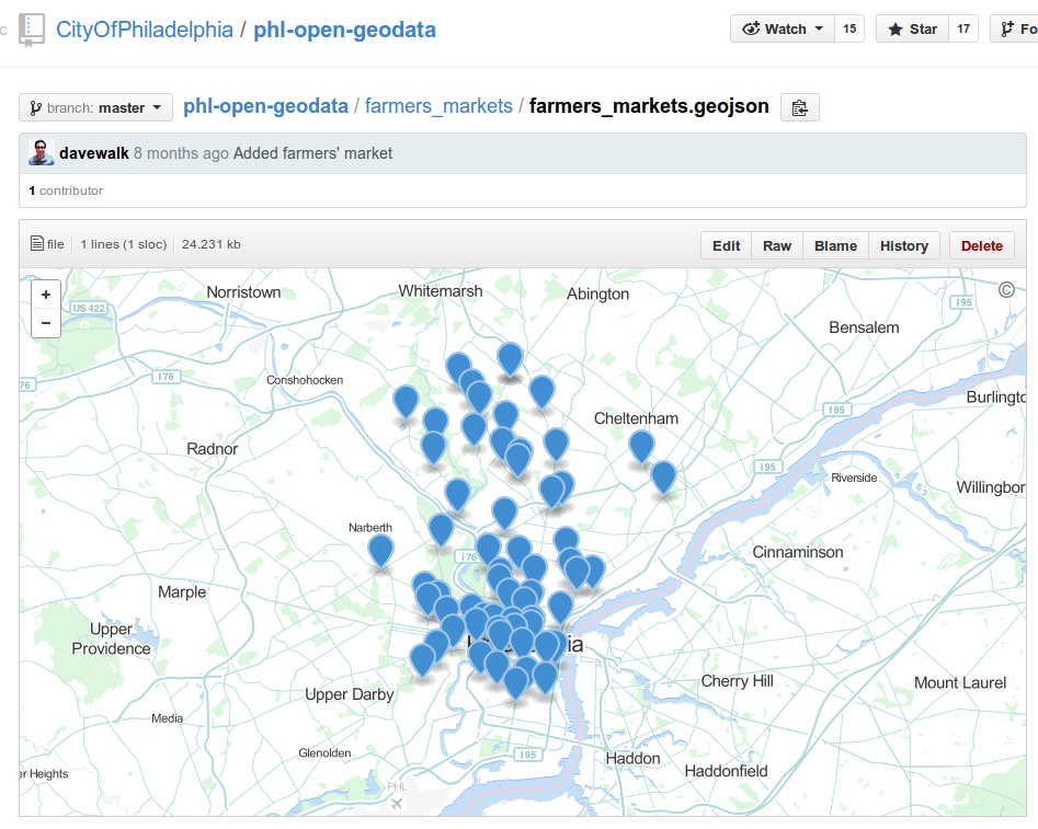
GeoJSON allows multiple geometry types in one file
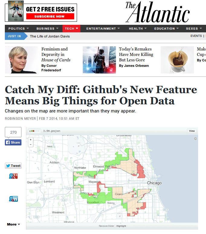
GeoJSON is easy for web apps to understand
it's not without its flaws
the files can get big:
the files can get big:
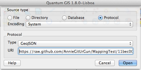
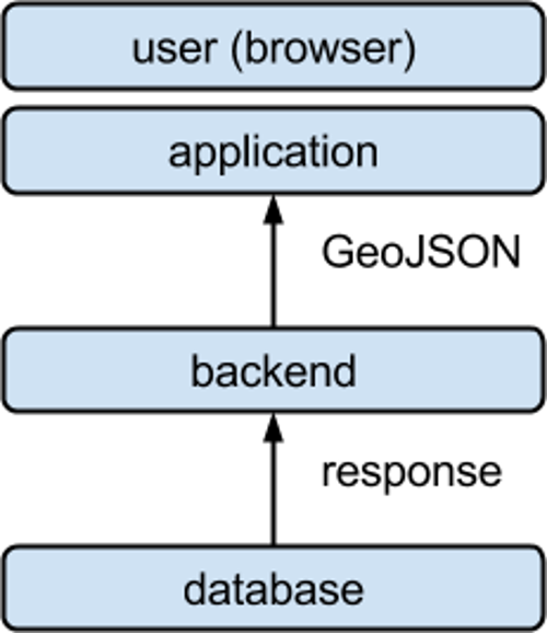
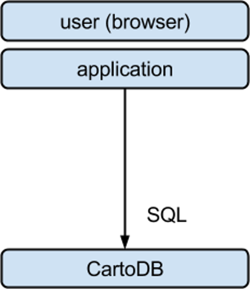
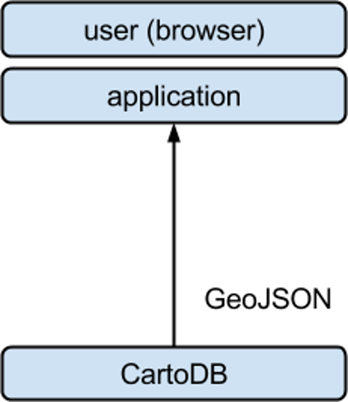
getting GeoJSON files from CartoDB
http://eric.cartodb.com/api/v2/
    sql?q=SELECT *
          FROM earthquakes
          WHERE mag > 7
http://eric.cartodb.com/api/v2/
    sql?q=SELECT *
          FROM earthquakes
          WHERE mag > 7
    &format=geojson
view results
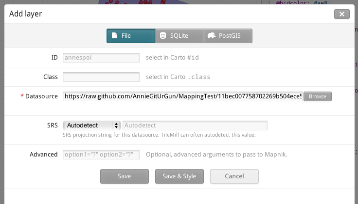
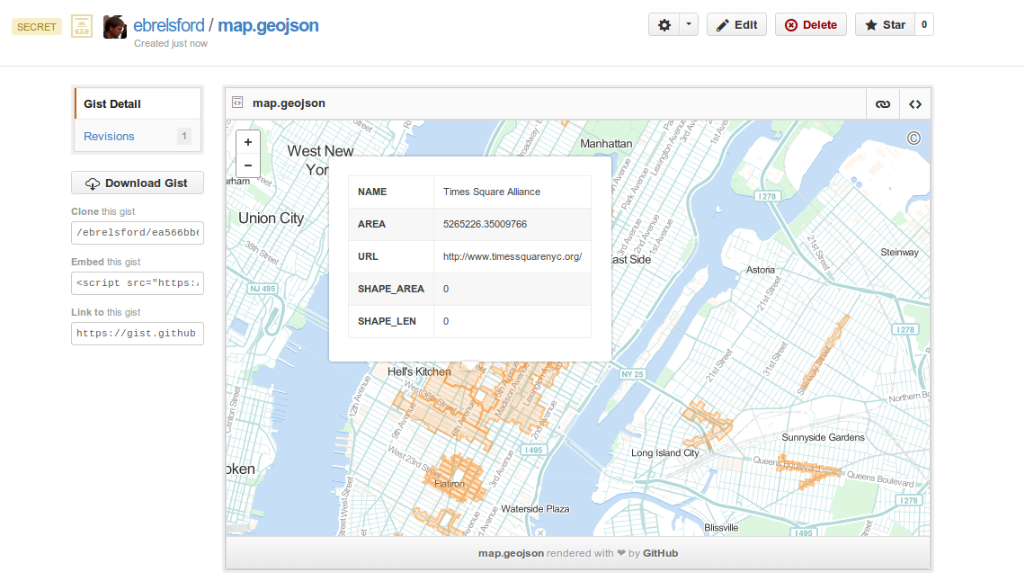
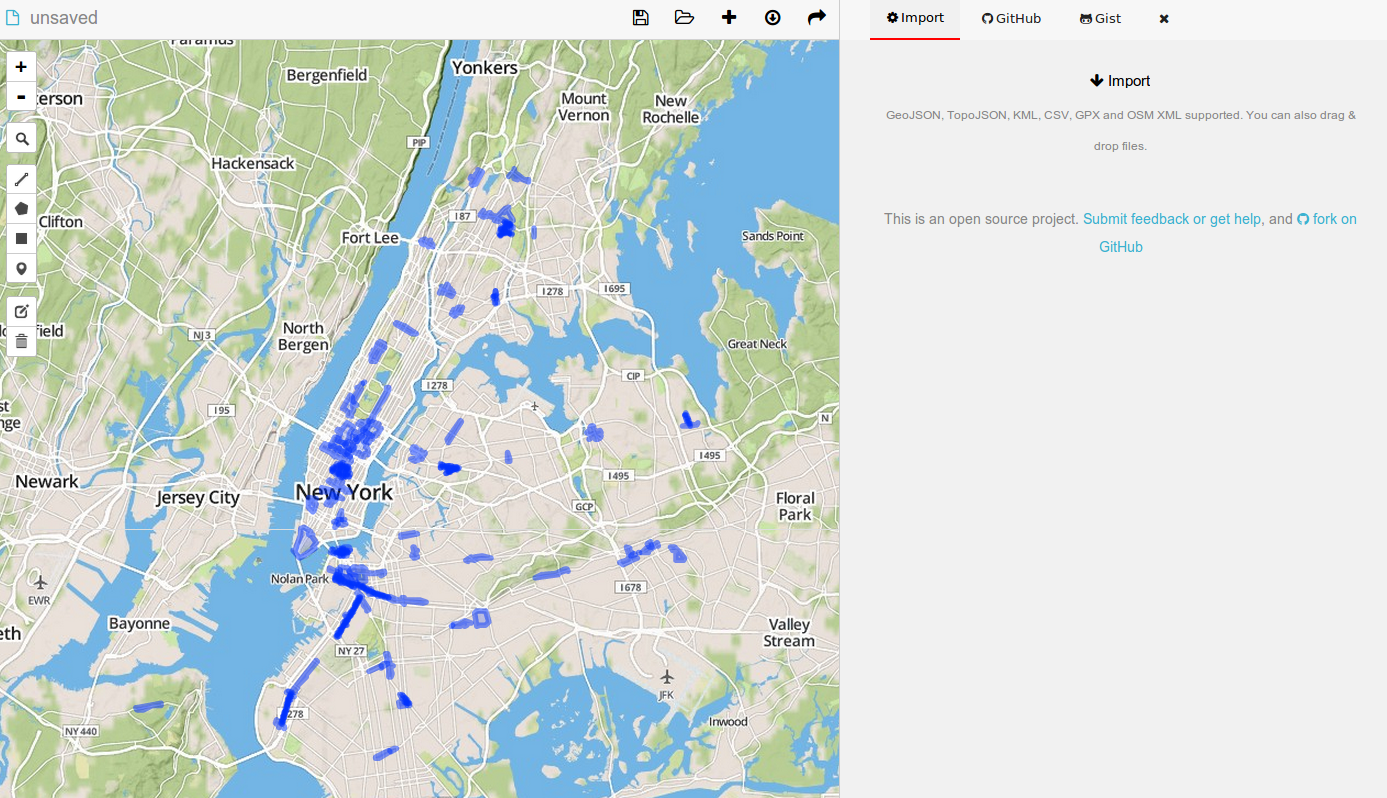
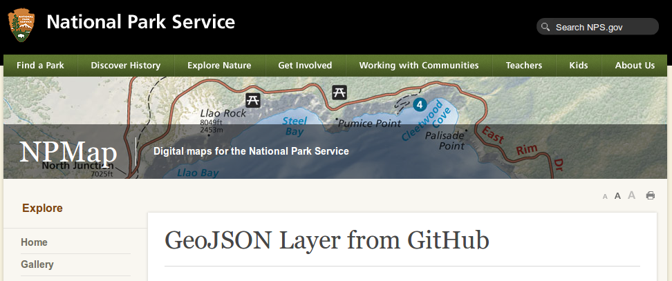
let's put GeoJSON files online
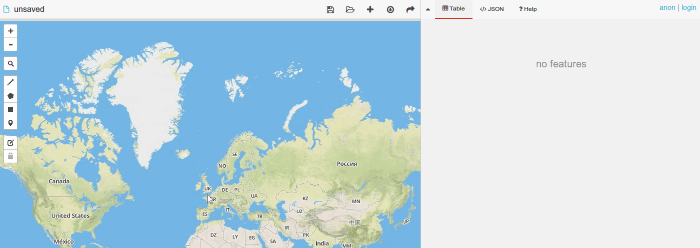
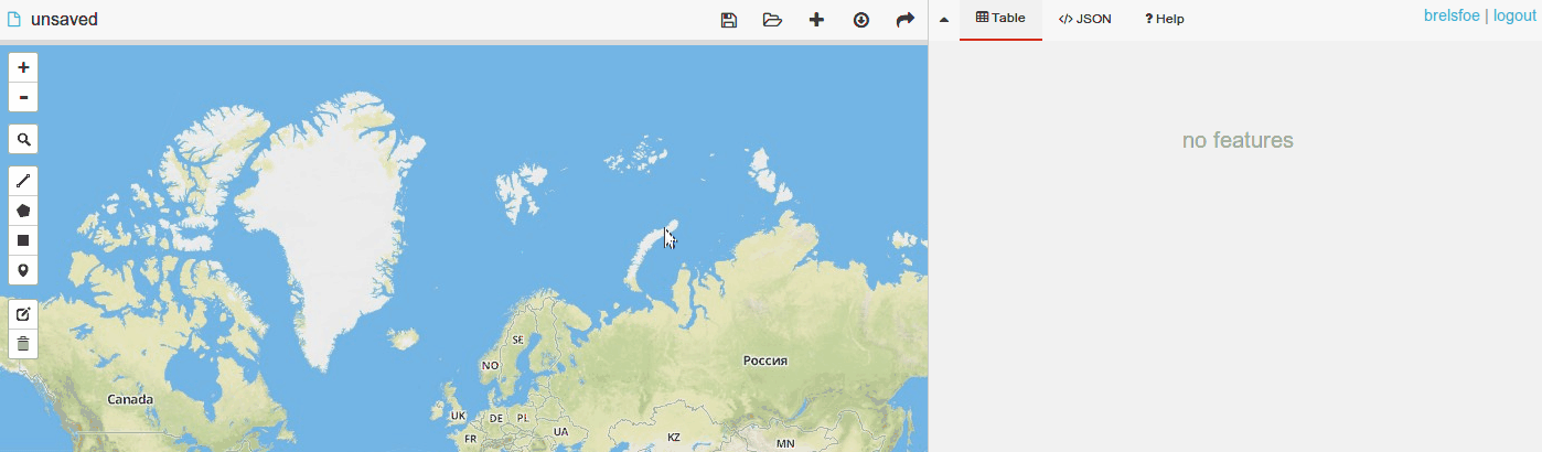
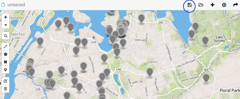
try it: go to geojson.io, make some features, and save your map
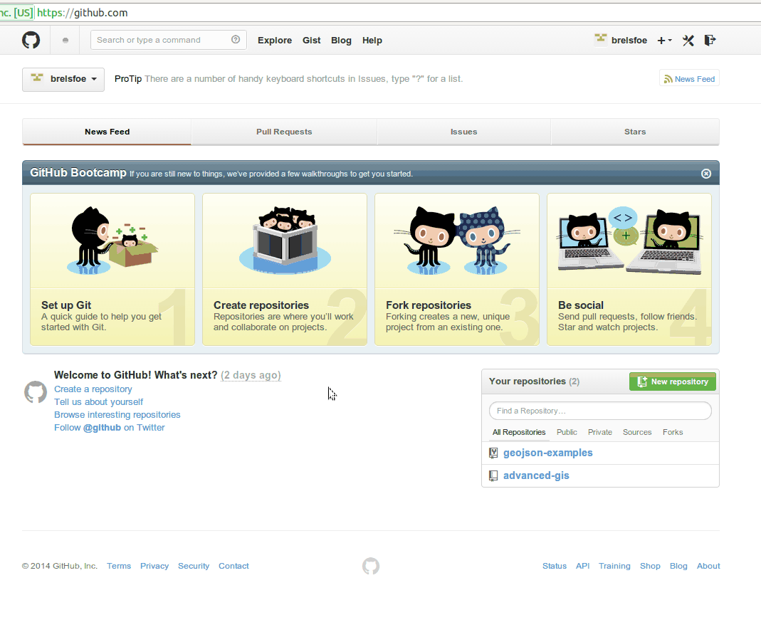
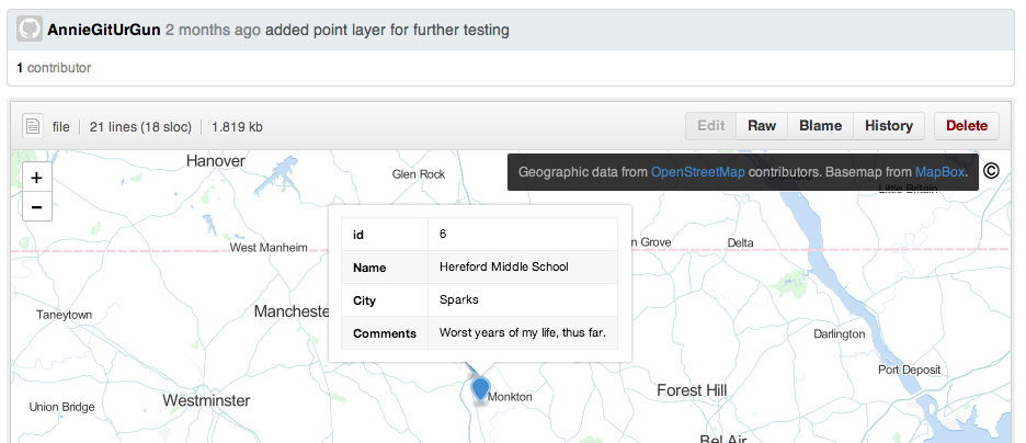
create a github account
login with geojson.io
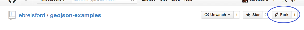
find the repository you forked
make some changes and save them
view the commit

or through github